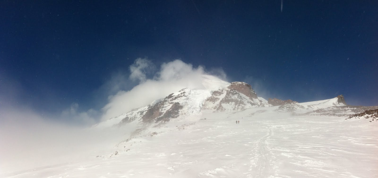
Climbing the route of the snow-covered Switchback Trail. We would return to the car down these slopes.
Approaching the ridge top.
Looking south toward Hurricane Ridge and the heart of the Olympic Range beyond.
From the top of the ridge, looking down into the north bowl.
Kevin making tracks down the upper bowl. The snow was new from the last couple of days, buttery smooth, and very fast.
We met a local named Gary at the top of the ridge. He caught up with us at the bottom of the lower bowl.
Heading back up...
and up..
and up.
The view out over the Strait of Juan de Fuca, to Mt. Baker, from the top of the ridge.
Sunday, July 22, 2012
Monday, June 18, 2012
Lundin Couloir, June 3, 2012
A rather ugly start to a rather unpleasant tour. ![]() |
| Majestic old fir at the rim of Commonwealth Basin. |
| Commonwealth Creek, at the entrance to Commonwealth Basin |
| My objective was the snow couloir in the upper right of this picture. A grove of subalpine fir blocks the entrance to the start of the couloir. |
| Looking up at the final climb to the col at the top. Unfortunately, this was my high point. |
Monday, May 28, 2012
Tuesday, April 24, 2012
Kendall Knob, 7 April 2012
The view toward Summit West, and Granite Peak and Bandera Mt. beyond.
Looking toward Kendall Ridge above Kendall Peak Lakes.
Self-portrait.
Wind-buffed sugar snow, soon to be corn.
The slope leading to the traverse around to the east leading to the summit of Kendall Knob.
The summit of Kendall Knob. Rainier and Silver Peak on the right horizon.
My tracks on the east side of Kendall Knob. I hit this slope just as the corn set in.
In the Coal Creek Basin below Kendall Peak Lakes. I had plenty of time, so I headed up to the top of the basin to get in another run before heading home.
The view of the east side of Kendall Knob from my high point at the head of Coal Creek Basin. My tracks run parallel to the treeline coming down off the ridge.
Tuesday, February 28, 2012
Silver Peak, February 12th, 2012
Windy Acres and Silver Peak (obscured by clouds). It was calm and comfortable today.
The transition, through the trees, from the top of Windy Acres into the lower of the three bowls that approach the north side amphitheater of Silver Peak.
Looking up into the lowest of the three bowls.

Looking down from the top of the lowest of the three bowls.

The view north, from the top of the second bowl.
Looking up into the upper bowl, and the rim of the amphitheater below Silver Peak.
The view northward from my lunch spot.

My tracks (along with some others) in the upper bowl on the way down.
Monday, October 31, 2011
Muir Snowfield, October 28th, 2011
The forecast was for a brief, yet intense storm on Friday, with snow levels down around 5000'
Brian contacted me with talk of powder on the Muir Snowfield. I didn't need much convincing, so we met at his house around 5:30 on Saturday, the 28th.

The morning started out rather foggy and crunchy.

That's Brian on the left.

That's Brian on the right.

After brief sunbreaks and blue sky patches, the weather cleared for good around 8000'.

The last 1000' to Camp Muir included strong, gusty winds . That, and the altitude, made for slow going. Just before reaching Camp Muir, I got blown over by one of the stronger gusts.

There were 5 volcanoes visible to the south: From left to right, the ancient Goat Rocks, Mt. Adams, Mt. Hood, (a barely visible) Mt. Jefferson, and Mt. St. Helens (below).

All of them are just visible in this picture.


Brian skiing the quality conditions on the upper Muir Snowfield.

My turn, with the Nisqually Icefall in the background.

Perfect snow conditions around 8500'.

Our turns are up there somewhere.
Camp Muir is another 1/2 mile and 500' above the pinnacle of Anvil Rock (on the right).

On the walk down, the cirrus clouds altered the sun while the valley clouds fought a losing battle.

It was a good day.
Brian contacted me with talk of powder on the Muir Snowfield. I didn't need much convincing, so we met at his house around 5:30 on Saturday, the 28th.

The morning started out rather foggy and crunchy.
That's Brian on the left.

That's Brian on the right.
After brief sunbreaks and blue sky patches, the weather cleared for good around 8000'.

The last 1000' to Camp Muir included strong, gusty winds . That, and the altitude, made for slow going. Just before reaching Camp Muir, I got blown over by one of the stronger gusts.

There were 5 volcanoes visible to the south: From left to right, the ancient Goat Rocks, Mt. Adams, Mt. Hood, (a barely visible) Mt. Jefferson, and Mt. St. Helens (below).

All of them are just visible in this picture.
Brian skiing the quality conditions on the upper Muir Snowfield.

My turn, with the Nisqually Icefall in the background.

Perfect snow conditions around 8500'.

Our turns are up there somewhere.
Camp Muir is another 1/2 mile and 500' above the pinnacle of Anvil Rock (on the right).

On the walk down, the cirrus clouds altered the sun while the valley clouds fought a losing battle.

It was a good day.
Subscribe to:
Posts (Atom)